Description
n
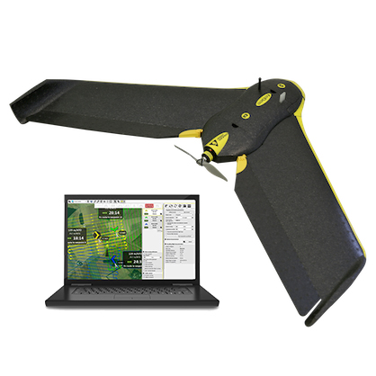
Rent an eBee SenseFly Drone Ground Station
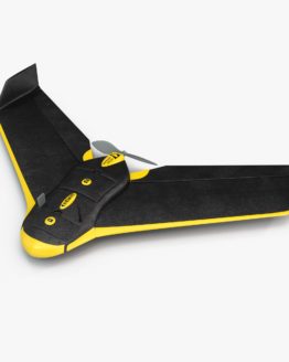
SenseFly eBee is an advanced drone intended for professional aerofotogrammetric surveying.
With 45 minutes of flight range and great resistance to the wind, it allows you to easily make surveys up to 1000 hectares in a single flight.
It also has the ability to take oblique photographs and perform linear landings as well as circular.
With its 18MP camera it is able to take photographs with a ground resolution up to 1.4 cm / pixel.
The images acquired by the eBee have GPS data and are therefore ready for the next steps of photogrammetric processing with the Pix4D software (a license included) for the extraction of DSM, DTM, level curves, orthomosaics and much more.
Sense Fly eBee for topographic surveys up to 1.5 cm / pixel
Main features
- 96cm wingspan
- 700g take-off weight
- 18MP camera, electronically controlled
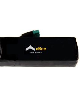
- LiPo batteries
- Up to 45 minutes of flight range
- Cruising speed 36-57 km / h (10-16m / s)
- Up to 45km / h (12m / s) of wind resistance
- > 3 km of radio coverage
- Area detected for each flight 1.5-10 kmq
- Linear and circular landing
- Oblique photo
- EMotion 2 software for flight planning / simulation
- Ground resolution of 1.4-30cm / pixel images (based on flight altitude)
The offer includes:
- Drone SenseFly eBee
- 1 Ground Station with Flight Planning Software
- 2 batteries
- Battery charger
- 3 Canon, RGB-NIR-RE cameras
- 32GB memory card
- Suitcase for transport
